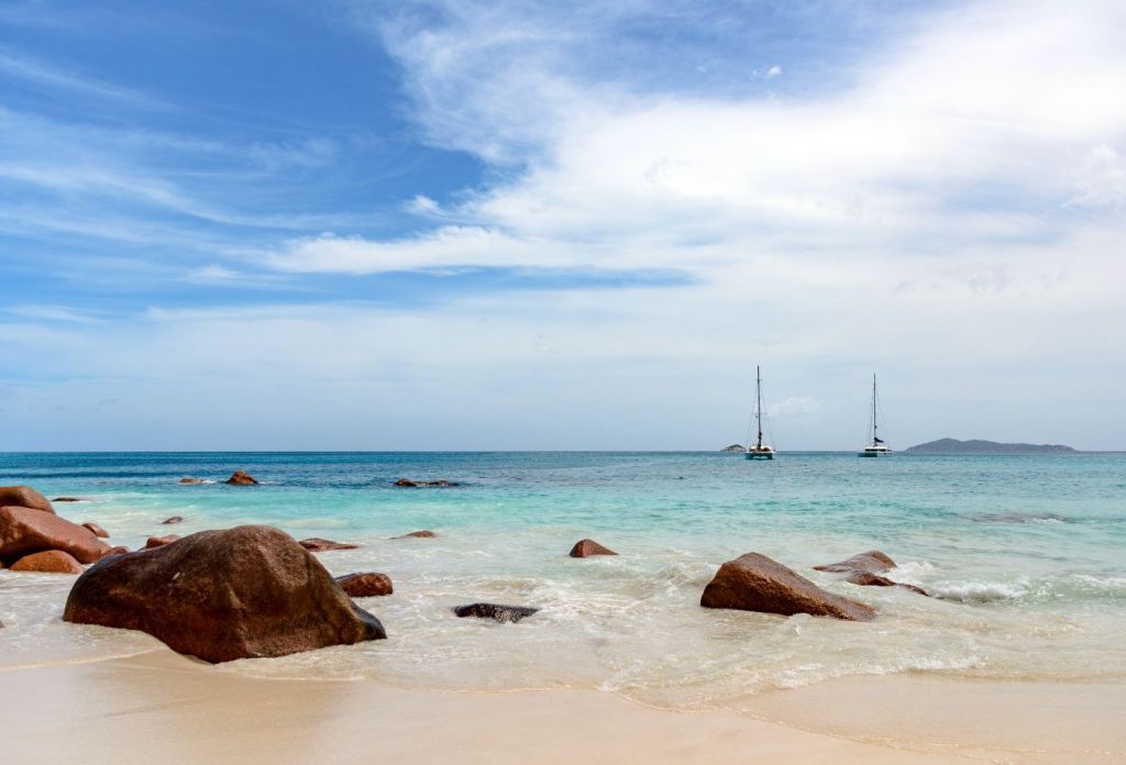
How Long Does it Take to Sail from Hawaii to Tahiti?
Funny, you should ask. My wife and I have been exploring this exact question over the last few months, though we're looking to go the other way from French Polynesia to Hawaii. So what should you plan for?
A sailboat averaging six knots will take roughly seventeen days to make this trip. It's a trans-equatorial route, so you'll be passing through light air near the equator, which can be slow and may take some motoring. It's a little over 2,500 miles, taking between 10 and 20 days, depending on your speed.
Based on your average boat speed, we can estimate transit times from this table:
Average sailing time between Hawaii and Tahiti
| Average Boat Speed | Approximate Days to Sail |
|---|---|
| 4 Knots | 26 Days |
| 5 Knots | 21 Days |
| 6 Knots | 17 Days |
| 7 Knots | 15 Days |
| 8 Knots | 13 Days |
| 10 Knots | 10 Days |
| 15 Knots | 7 Days |
Even if you're in a fast catamaran, it's a long trip. Weather, winds, currents and prevailing weather patterns all will affect your passage times. Any passage like this takes some time to plan, and some planning to time it properly! Let's discuss those details below.
When to Sail to Tahiti
The best time to sail from Hawaii to Tahiti is from spring to early fall in the North Pacific. One aim is to avoid the cyclone season in the Southern hemisphere (November through April), and the storm season in the north doesn't pick up until June.
This leaves a preferred window in April and May, both due favorable weather in both hemispheres, and the relatively light southeast trades you may run into south of the equator. You can safely do the passage later in the summer, though the trade winds may make for more upwind sailing.
The doldrums vary from year to year and by season, and can be hard to predict. You may not notice them, or you may end up ghosting in light air or motoring for days.
If you are doing the reverse - Tahiti to Hawaii - the best times are in the northern spring and fall, with lower cyclone risks and more consistent trade winds.
How to Sail
The quickest way to get from Hawaii to Tahiti is to sail without stopping. But quickest isn't always the best, and most boats making this trip are cruising, not racing. So comfort, safety, ease, and what you see along the way are as important as straight line speed.
There are a few ways to make this sail, some ways to break it up, and a few approaches to Tahiti. It's important to understand what you're sailing into, and how to make the trip best for how you want to sail.
General Wind and Weather Patterns
I've mentioned the southeast trade winds a few times, but there are specific things to know about them in planning your trip. You'll start running into them south of the equator, and they will be a deciding factor in how you sail.
You'll start feeling the southeasterly trades around 5° south of the equator, though the exact location will vary with season and where the Intertropical Convergence Zone (ITCZ) is found. Consistent southeasterly winds from 12 to 25 knots will affect the last six or seven hundred miles of your trip.
The northern hemisphere trades from the northeast won't affect you badly, but you will want to keep east as much as possible before you get to the equator. Look at long term weather patterns and short-term forecasts and weather routes, but if you don't make enough east, you may end the trip sailing into the wind.
If you head too far east, though, you can think about a different place to make landfall with no harm done.
Alternate Destinations
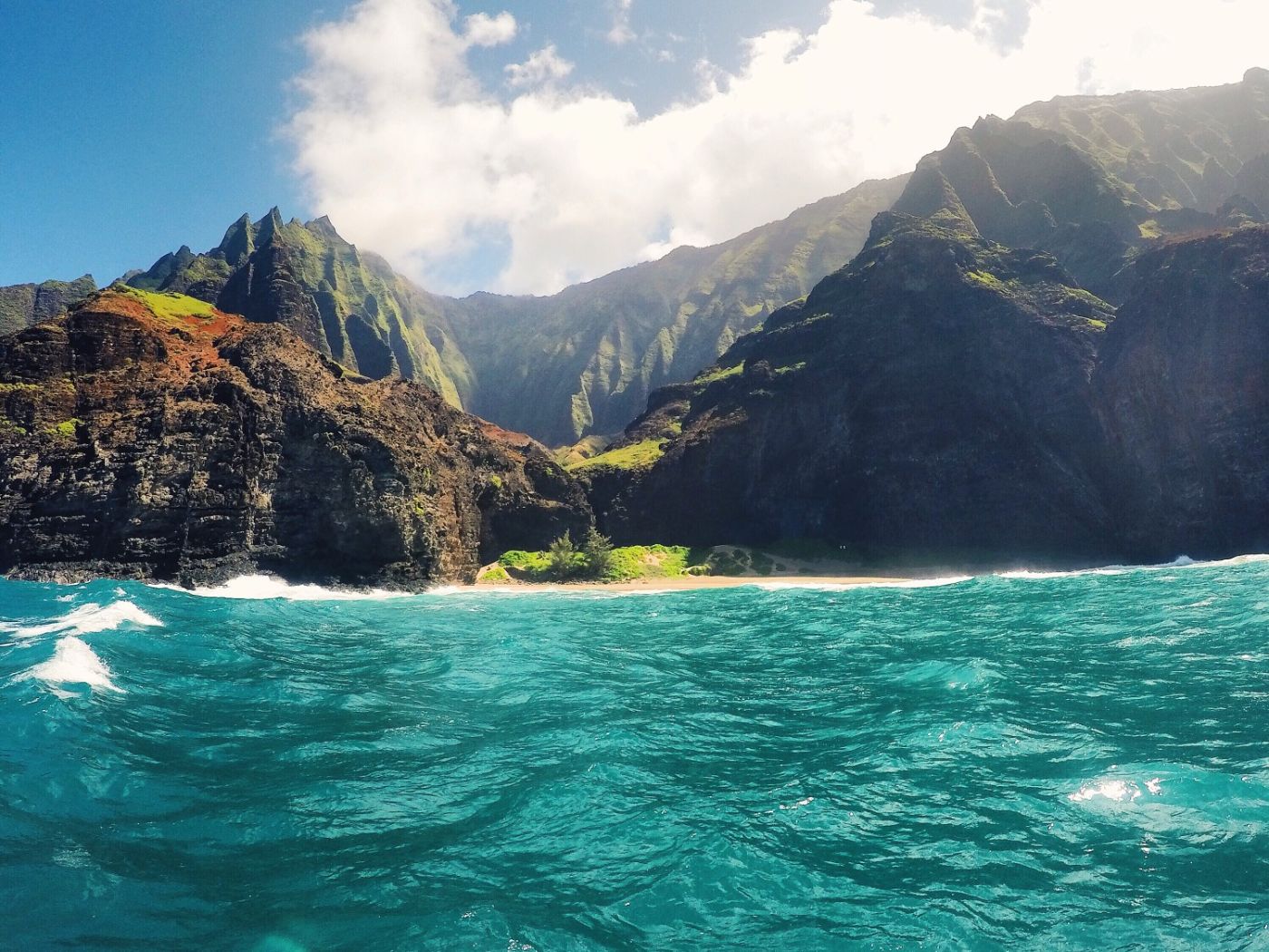
French Polynesia is a big place, and it's unnecessary to sail to Tahiti first. We made our landfall in Nuka Hiva, and the Marquesas may be a better place to steer if conditions are favored. It's downwind to Tahiti from there, and the trip is about 500 miles shorter, though it requires you to head more to the east to get ahead of the southeasterly trade winds.
If you sail far enough east, the Marquesas will make the most sense over heading for Tahiti for the Society Islands. And the Marquesas are lovely, and not to be missed!
Check ahead on Noonsite.com to see current clearance procedures for arrival outside Tahiti. You may need to submit additional paperwork when you get to Papeete, or drop something in the mail after you clear in.
Also check COVID-19 restrictions. Every country in the South Pacific has changed border policies during the pandemic, and as of this writing many borders are completely closed or require special exemptions and health proofs.
Breaking up the Passage
You can also stop along the way. The Line Islands lie about midway between Hawaii and Tahiti, though they are a bit to the west of the rhumb line. The nation of Kiribati spans much of the Line Islands and central south Pacific, and you can stop there for rest. It is not a very developed nation though, so it may limit your options for supplies and repairs.
Palmyra Island is an uninhabited U.S. possession, but requires special permission to stop as it is a nature preserve on a former military base. There are a few other uninhabited islands near the direct route if you need to breakup the trip, rest, or make repairs in the lee of the wind. But take care where you are landing and observe all local laws and know what country you are stopping in!
The major disadvantage to the Line Islands detour is it takes you west, and when you get to the trades winds, you may struggle more to get back to the east to make Tahiti.
Planning and Time Estimates
We plan passages on my boat at seven knots, which is relatively fast for a cruising boat and covers 168 miles per day. It's the average which is important - what speeds your boat can sustain for hours and days on end. Crossing to the Marquesas we frequently saw spot speeds over ten or twelve knots and it was one of our fastest passages - 3,008 miles in a little over 16 days.
And we averaged 7.74 knots, about 10% over my planning speed.
Don't fool yourself on your boat speed. After you've cruised for a while, you'll get a better sense of how fast your boat is over long distances. Blasting along at high speeds in great conditions is fun, but it's not common to sustain those kinds of speeds for days at a time.
When you're planning for a boat, account for not only weather, but food, water, and fuel. It's better to have too much than not enough. Even with a water maker, you need to run it, which takes power. If you don’t have a lot of renewable charging (wind, solar, hydro) then making power consumes fuel.
Crossing the equator, you won't have the same reliable trade winds we did on the milk run to the Marquesas. You may run into little or no wind, and your passage may get slow if you motor too much and have to conserve fuel.
So a few things to do for safe planning and sailing:
- Underestimate your boat speed. You want a realistic idea of times, and it's better to plan slow and sail fast than to plan fast, then have a slow and painful trip running short of crucial supplies or fuel.
- Put in a safety margin. Even after you've planned your slower-than-you-hoped estimate, carry extra food, fuel and water. Collapsible jugs of water stored below and jerry cans strapped to the lifelines are all good ideas.
- Know your fuel consumption and track it.
- Pre-plan alternative routes. The time to be looking whether the Marquesas are a better landfall is when you're planning before you leave Hawaii. You want this information in your head, confirming it when you meet actual conditions. You don't want to research it when you're upwind into the trades.
Resources
There are many other excellent resources you can consult to plan this trip. This article just covers the basics, and a deep dive into planning for the weather and your route is critical before you set sail.
Everyone who aspires to cross an ocean should have Jimmy Cornell's World Cruising Routes at their fingertips. We bought a copy years before we went cruising, just to familiarize ourselves with the ways to get around in the world. It's great for dreamers and planners. The most recent edition has updates for recent changes in weather patterns.
Noonsite.com is a comprehensive resource for sailors on entry requirements, border procedures, and other information relevant to international cruising.
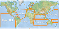
Pilot Charts show sailing conditions by month as compiled from decades of compiled weather and climate information. They can be downloaded for free.
Did you find the answer to your specific question?
👍 6 👎 0


Comments
Paolo Gnecchi Ruscone
Just one question , I have been asked to crew on a boat fro Tahiti to Hawaii in December, now as there is there Southern hemisphere Cyclone season approaching is that the worst time possible ? or what do you suggest would be the best time ?
Thank You ,
Paolo
andre
Hi Paolo
I can not find any information about taking a Catamaran from Hawaii to the Tuamotos. When I look at wind maps it looks like a doable trip but I heard from others that you always have to close haul with 30 to 35 degrees. My boat can not do that. I am sailing at 60 degree upwind. did you ever come across someone who took a catamaran on this trip ?
Leave a comment