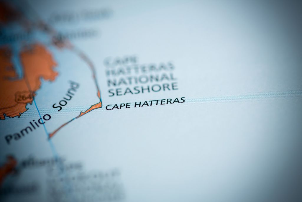
Sailing around Cape Hatteras (weather, tips & route)
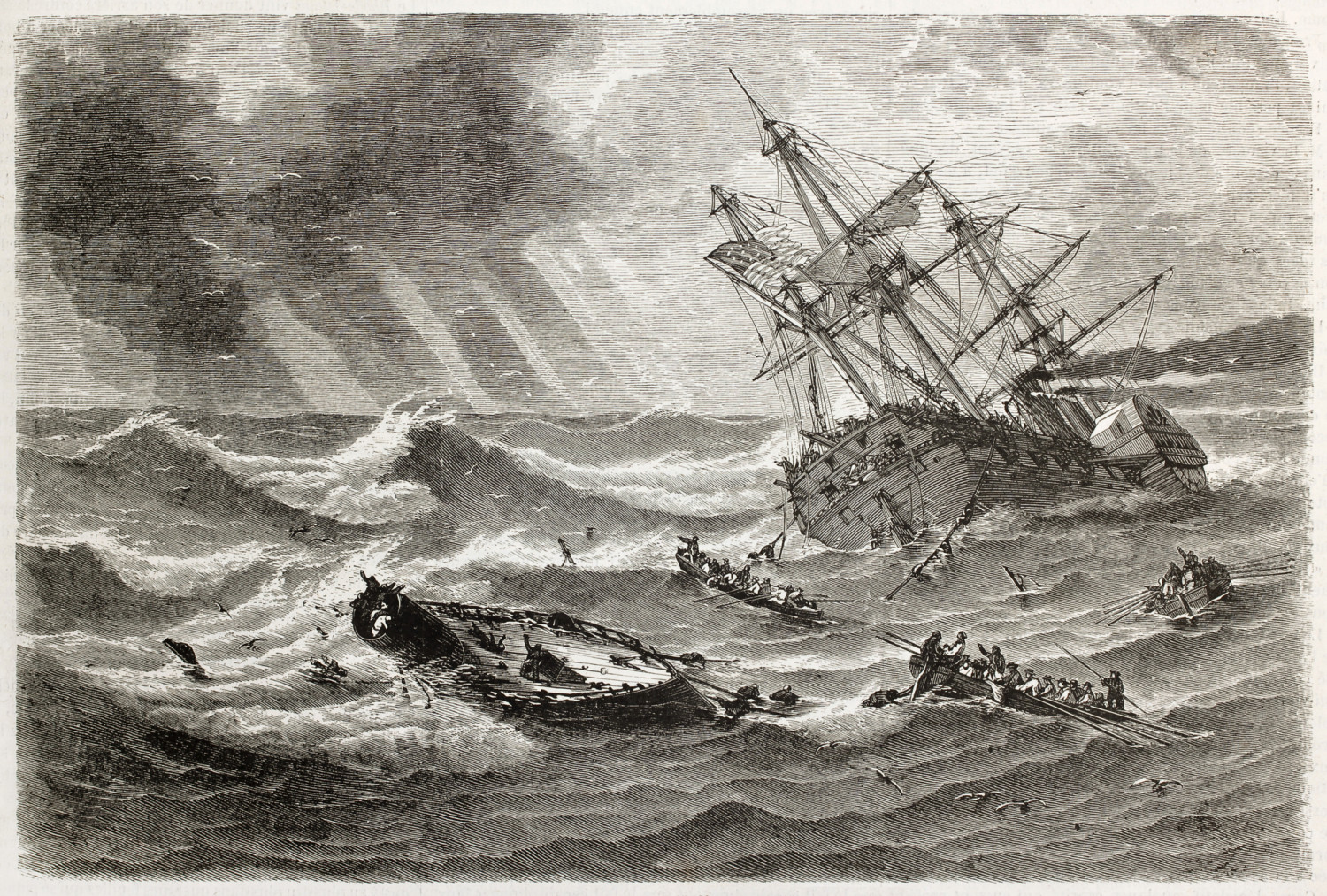
Cape Hatteras lies at the heart of the poetically named Graveyard of the Atlantic. But the name is more than just poetry. Upwards of a thousand wrecks may lie submerged off the cape. Even with modern navigation tools and government lights, ships and boats today get in trouble and founder trying to get past the cape.
So how can you get around Cape Hatteras? There are three basic approaches.
- Take the Intracoastal Waterway (ICW).
- Sail a careful inshore route on a good weather window.
- Take a course way offshore and go well clear of it.
But which is right for you? That depends on a lot of variables - the size of your boat, your schedule, your skill level, and which way you're traveling all factor into the decision. So let's talk about the risks, and which approach works for you.
Why Cape Hatteras is Dangerous
Cape Hatteras has been a known hazard since the middle of the 16th century when the first ship foundered there. It juts like an elbow out into the Atlantic, and two major ocean currents with very different characteristics converge off the cape. Throw shifting shoals and shallows into the mix with low-lying, hard to spot barrier islands and you have a very challenging body of water to get through.
With good weather and clear conditions, you can sail safely through the area. But if you get caught out in poor conditions, it can get dangerous in a hurry.
Offshore Currents
The Gulf Stream flows from the south, and the weaker Labrador current flows from the north. They converge offshore of Cape Hatteras, and there's sometimes a temperature differential of twenty degrees Fahrenheit (10° Celsius). This temperature gradient can cause its own local weather pattern, and sharp storms and shifting winds out of the larger regional weather systems are not uncommon.
The Gulf Stream may flow less than twenty miles offshore from Cape Hatteras, and it also rips along at a four knot average current. With northerly winds, this will build up steep and nasty waves in stream. Even in favorable winds, southbound vessels prefer to stay inside the stream and not buck the current, but in foul winds it can be uncomfortable and dangerous.
Southbound vessels do have the worst of it here, as vessels headed the other way pick up a happy four knot tail current to speed them past.
Diamond Shoals
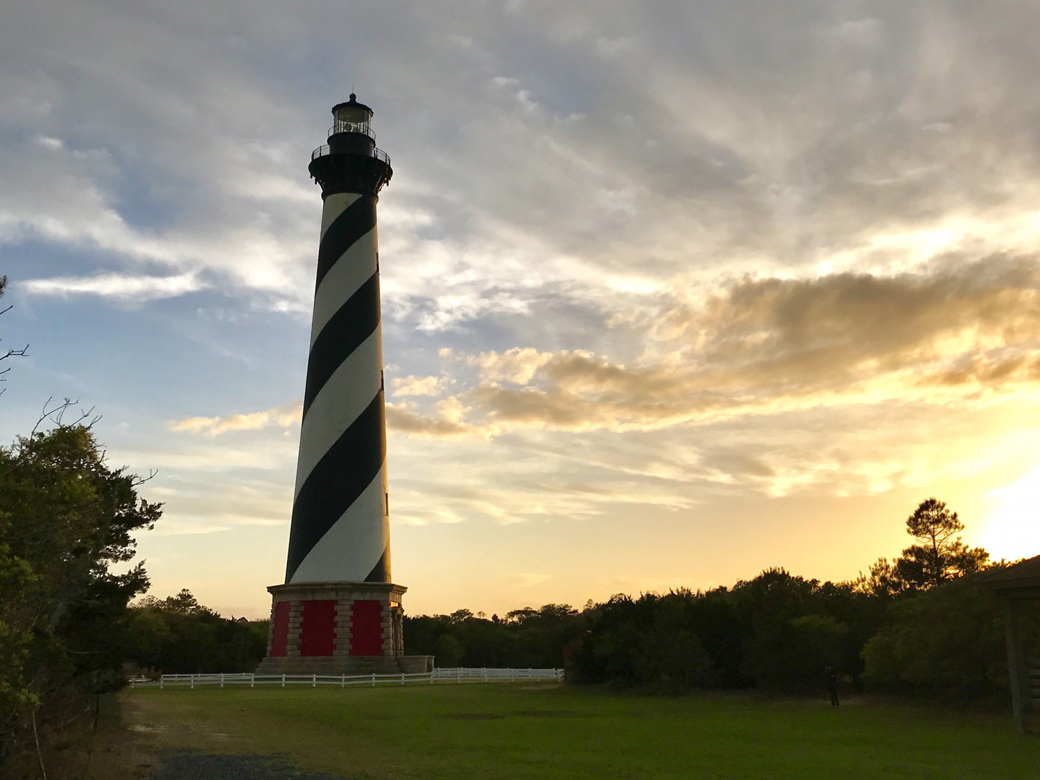
Running some eight miles or more from the tip of Cape Hatteras, Diamond Shoals is an uncharted area of shifting shallows and sandbars. Yes, “uncharted” in this day and age, because the bottom shifts so often that hydrography and charting is out of date before it gets published. If you look at the U.S. Government chart it shows..."See note E" and no bottom detail, and Note E tells you there's no hydrographic data.
With Diamond shoals sticking miles out of the cape, and the Gulf Stream pressing in from the east, southbound vessels have a narrow strip of water to sail in. Ten miles of sea room isn't a lot when you're dealing with bad weather.
Safe Harbors (or lack thereof)
When I plan a trip, I fork my route and pre-plot a bunch of safe "dump off" spots - places I can head for in case of bad weather or and emergency. For most trips, you can find a few holes and harbors you can duck into for safety if you need it.
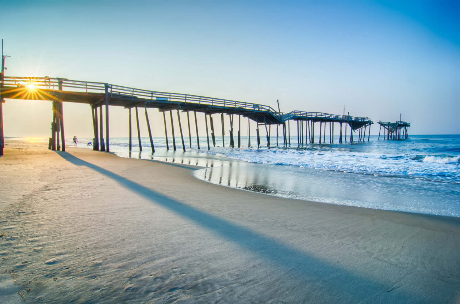
Not so much rounding Cape Hatteras. While there are a few inlets through the barrier islands - Oregon Inlet to the north and Hatteras and Oracoke inlets to the south - all of them are difficult and not well suited for deeper draft, larger vessels like sailboats. Locals in skiffs may zip in and out of them, but they're all subject to shifting shoals, narrow channels, very strong currents, and breaking waves. In calm weather on a clear day with good visibility you could pick your way in, but it's nothing you want to try in less than perfect conditions.
So you've got a stretch of almost 200 miles from Norfolk, VA to Beaufort, SC with no reliable all-weather safe holes to duck into.
Low-lying Barrier Islands
The other navigational challenge to this area are the barrier islands. They don't rise very far from the ocean and stretches of many of them are empty and unlit. As a result, they can be hard to spot by day, never mind in the dark or in stormy conditions. Many a ship has foundered because they're ran off their safely plotted course and didn't know the land was there until they blew onto a dangerous lee shore.
Three Ways to Get By Cape Hatteras
Heading north around the cape is easier, because you can ride the Gulf Stream on a good weather window with much less risk. You still need to watch weather, but staying in the Gulf Stream not only speeds your trip, but it keeps you well away from the hazards near shore.
So these approaches are more important for the southbound sailor, though some ideas can apply both ways.
The Intracoastal Waterway (ICW)
Boats which draw less than ten feet of water and have masts less than sixty-five feet high can use the ICW to go inland and bypass the cape from Norfolk, VA all the way to Beaufort, SC. This is a great way to do it for small sailboats and trawlers, though vessels close to the size limits may find it stressful.
There is commercial traffic in these waters, and the waterway gets quite narrow in some places, especially in the Dismal Swamp Canal. But it's also possible to take the ICW part of the way inland then come out into Pamlico Sound inside the cape for much of it before re-entering the ICW. It takes careful navigation and there's not much room for error outside some channels.
Careful Near Shore Routing
Given the two hundred mile trip from Norfolk to Beaufort, most sailboats will want a thirty-six to forty-eight hour window of good weather to make a trip down the coast and around the cape between Diamond Shoals and the Gulf Stream.
It's recommended you wait around Norfolk or Hampton for a good weather window, then set out to make the trip straight to Beaufort. A northerly behind you can make for good sailing, but it can make a mess of the Gulf Stream so take care if it's too northeasterly or too strong.
If you are coming directly from points north and don't want to stop and wait for weather, you still need to watch the weather, and give the area a wide berth and head offshore if it looks less than optimal. Or pull into Norfolk and wait for better conditions.
The trick to this route is to stay close enough to the shore to avoid getting caught in adverse Gulf Stream currents, then round Diamond Shoals inside the current if possible. Watch your speed over bottom (SOG) and your speed through the water (STW), and the water temperature. A sharp drop in your speed over ground or a rise in water temperature may mean you've entered the Gulf Stream and you should head a little closer to shore.
SOG - Speed over Ground as some GPS manufacturers call it - is your absolute speed as plotted by GPS position. Speed Through Water or "boat speed" is the speed your hull is moving through the water, which may differ from your SOG because of current and sideslip. A significant difference between the two means you are in some current.
There's a large platform light at the end of the shoals, the Gulf Stream is usually east of it. But the stream moves, and it may reach up to the light in which case you either have to go inside the light or buck it up and power through the adverse current.
Once you get past Diamond Shoals, there's a lot more room between the Gulf Stream and the barrier islands, so you should have little trouble staying out of the current.
Sailing Offshore
Sailing way offshore, through and past the Gulf Stream, solves some problems getting around Cape Hatteras. However, this is a long trip with real offshore sailing. Usually it's part of a bigger trip between coastal points in the U.S. or the U.S. and the Caribbean.
A trip like this requires more skill, more equipment, and more planning than a two day coastal sprint or picking your way down the ICW. And you'll be at sea for days - maybe five or six days or longer - so you don't know with any certainty how the weather will hold for the second half of your trip.
When we sailed to the Caribbean, we left Newport News (and Norfolk) and went straight for the British Virgin Islands. We sailed east and went far offshore before turning south, and were many miles from Cape Hatteras when we passed it. Before the trip I thought about Hatteras, and even worried about it a little. But in the end, we never laid eyes on it, and I was quite happy about that.
Did you find the answer to your specific question?
👍 13 👎 0
Comments
Jim Huggins
Well written article, very detailed, thanks
Leave a comment